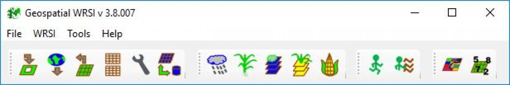
The GeoWRSI is a geo-spatial, stand-alone implementation of the Water Requirements Satisfaction Index (GeoWRSI), as it is implemented by the USGS for the FEWSNET Activity. The program runs a crop-specific water balance model for a selected region in the world, using raster data inputs.
The program produces a range of outputs which can either be used qualitatively to help assess and monitor crop conditions during the crop growing season, or can be regressed with yields to produce yield estimation models and yield estimates. Other tools are available to post-process the GeoWRSI outputs so that they can be used in yield estimation models.
Main features:
-WRSI Map
-WRSI Anomaly Map
-Start of Season Map
-Total Actual Evapotranspiration at different stages of crop growth
-Total Water Deficit at different stages of crop growth
-Total Water Requirement at different stages of crop growth
-Total Surplus Water at different stages of crop growth
-Maximum Water Deficit experienced in any one dekad
-Maximum Surplus Water experienced in any one dekad

Analyzes various type of data by working with multiple datasets simultaneously.
Can estimate physical properties for pure components based on correlations.


Comments (1)